QubiMapCross-Platform Map Browser
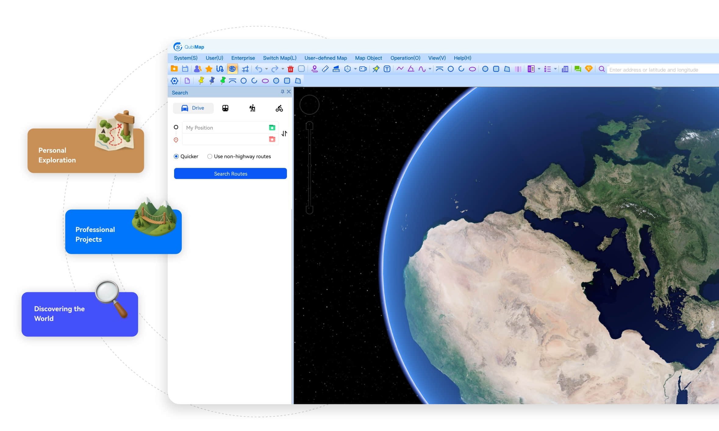
QubiMap delivers a seamless experience across all major platforms, including iOS(iPhone, iPad), Android, Windows, MacOS, and Linux.
Harnessing powerful design tools and cutting-edge geospatial visualization technology, QubiMap can meet the diverse geographic planning needs across industries. From professional projects to personal exploration, it’s more than software—it’s your trusted companion for discovering the world.

QubiMap Features for Industries
Your trusted assistant of geographic planning across diverse industries.

Telecommunications
Provides the track attribute extension feature for classification and statistics of
telecommunications lines (tracks).

Electric Power
Provides the object association feature to move utility poles (placemarks) together
with lines (tracks).

Transportation & Construction
Supports importing CAD files into the map for simulation and on-site layout
planning.

Exploration & Outdoor Adventure
Supports connection with APRS wireless communication devices and satellite
positioning.

Confidential Sectors
Supports offline VIP authorization to meet secure access requirements.
QubiMap Features for Professionals
Integrates diverse maps with powerful GIS design and visualization
capabilities.

Track classification and statistics

Object association

CAD file import and topography simulation

APRS TNC device connectivity

Satellite device integration

Offline VIP authorization

Multi-map support and custom map integration

HD satellite and aerial image import

3D map simulation

Offline map data management

Track recording and sharing

Position sharing, following, and recording

Placemark icon customization

Attaching of files and images to placemarks

Linkage of placemark icons to third-party applications

Enterprise data services (elevation import & overlay, and CAD
export)

Data conversion (batch coordinate conversion, and
photo-to-placemark/placemark-to-track/placemark-to-shape conversion)

Placemark import and export in OVOBJ, GPX, PLT, DXF, and TXT
formats

Geographic and projected coordinate systems

Information search by route, location, or coordinates

Distance, area, and angle measurement

Custom map drawing (tags, text, tracks, shapes, and CAD)

HTTP proxy for enterprise network access

Third-party design software integration

Web platform interaction

Enterprise-level deployment

BIM and 3D model support

Peer-to-peer messaging